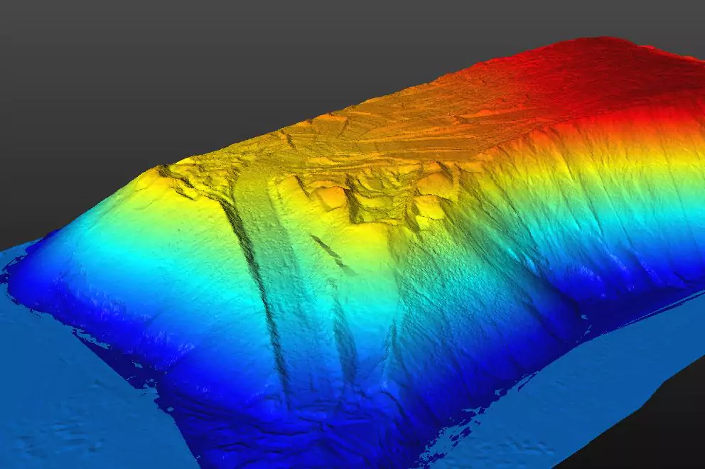
Terrestrial laser scanning (TLS) technology can be used to create a detailed model before and after construction to determine earthwork quantities. Cost-effective implementation of this technology requires that field operations are planned to efficiently acquire sufficient scan data and that data processing is able to filter out off-terrain points to provide an accurate bare earth model. This research developed a workflow for using TLS on road projects and created a customized computer program with a graphical user interface. Scans taken before and after construction were planned using the best available terrain model. Point cloud data were converted to station/offset coordinates for viewing cross-sections and generating the surface. An algorithm was developed, based on the finite element method, to create a surface through the lowest scan points. This surface was converted to a Triangulated Irregular Network (TIN) file, and earthwork quantities were calculated by comparing the TIN of the original terrain to that of the finished project.

