Home
About Us
Services
3D Laser Scanning
3D Scanning for BIM modelling
3D Scanning for Tank calibration
3D Scanning of Historical Heritage
3D Scanning of Industrial Plant
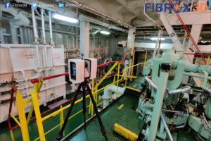
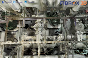
3D Scanning of Ship Engine room
Large part Scanning and dimensional control
3D Scanning in Construction
Reverse Engineering
3D Inspection
Scan to Parametric CAD modelling
Photogrammetry
Aerial & Terrestrial Photogrammetry
Heritage Photogrammetry
Drone Surveying
BIM Services
3D Modelling
4D Scheduling
5D Estimating
CAD to BIM
Clash detection
Revit Family creation
Scan to BIM
Plant As-built modelling
Mobile Mapping
Smart City Modelling
Virtual Reality - Augmented Reality
Scale Model
Architectural Scale Model
3D Printed Models
Our Work
Blog
Contact Us
Work With Us
Latest Blog
Home
Blog
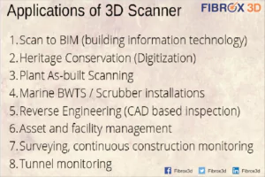
Application of 3D Scanner
Read More
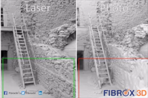
White Light vs Blue Light Scanning
Read More
What is 3D Laser Scanning ?
Read More
Advantages vs Disadvantages of 3D Laser Scanner
Read More
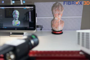
Industrial 3D Scanner with white light technology
Read More
Which is best Photogrammetry or 3D Scanning ?
Read More
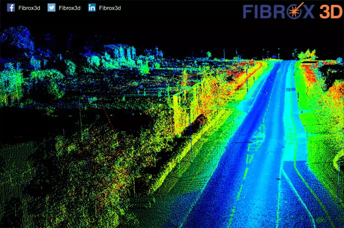
What is LiDAR ?
Read More
Why 3D Laser Scanning ?
Read More
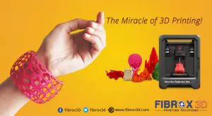
The Miracle of 3D Printing
Read More
1
2
3