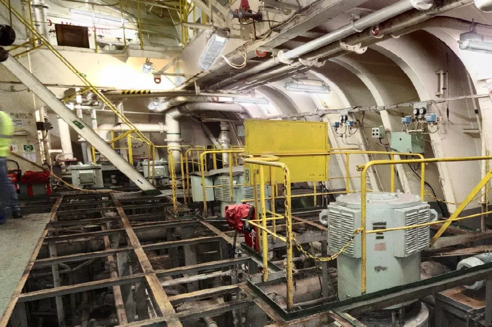
- 1. Capture the entire site in high detail, all from a safe vantage point
- First, a 3D terrestrial laser scanner allows you to maintain a safe distance at all times. As we briefly mentioned, by their nature many industrial sites contain areas that are either restricted or unsafe for a surveyor to get too close — think of an area with live electricity or the reactor of a nuclear power plant for example.
- Equipment like the 3D laser scanner survey- a grade laser scanner allows you to capture structures in high detail from up to 1 kilometer away. So, there’s no need to approach dangerous areas or sacrifice accuracy to stay safe. With the right equipment, it’s possible to do both.
- 2. Find equipment failures or malfunctions before they cause issues
- It’s often overlooked as a benefit of using them, but 3D laser scanners can even help you keep ahead of which equipment needs replacing or updating. The models produced by 3D laser scanners capture all the architectural, structural, and mechanical systems at a site, to a millimeter of detail.
- These models are so comprehensive that they’ll pick up, and bring to light, things that might not be obvious to the naked eye. So, you’ll know about that overhead conveyor or jig welder that’s in danger of breaking down, long before it actually does — saving you money and lost production days.
- 3. Document everything the first time without having to return to the site
- The 3D data captured with laser scanners, such as the 3D laser scanner range, is so thorough that almost every detail is recorded. So much so that the chances of any omissions from the data are minimal. This means there’s rarely any need to revisit the site to capture missed measurements.
- The best laser scanners will work alongside a 3D point cloud post-processing, allowing surveyors to revisit the site virtually as often as they like. These virtual visits are so realistic that the need to revisit the site is eliminated. In some cases, it’s even possible for surveyors to work on sites they’ve never actually visited.
- The benefits of this for efficiency and productivity are huge. Not only do you eliminate costly and time-consuming returns to the site, but you also free up surveyors to work on new projects.
- 4. Rapid measurement
- Perhaps the simplest benefit of 3D terrestrial laser scanners is speed. The 3D laser scanner has a scan rate of up to one million points per second, meaning even the largest structures can be captured in just a few minutes.
- Rapid capture is vital for time-sensitive projects or those that require minimal disruption to site facilities, allowing surveyors to get in, capture everything they need, and get out quickly. What’s more, high measurement speeds greatly reduce the hours surveyors spend on-site doing the ‘capture’ element of their role. This means more time can be spent doing ‘high value’ tasks such as the final registration, modeling, and analysis of the data.
- 5. Develop plans for more efficient uses of space and equipment installation with complete data on the layout of the complex
- Finally, 3D terrestrial laser scanners can help businesses better use the space at their disposal. The 3D models produced with the data from a laser scanner are so detailed that they can be used to perform virtual deployments of equipment, machinery, and even vehicles.
- For businesses, this means the power to move equipment around a plant, assess different layouts, plan vehicle routes to avoid collisions, and find the most cost-effective and efficient use of space. Yet, not a single piece of machinery or equipment needs to be moved until the optimum

