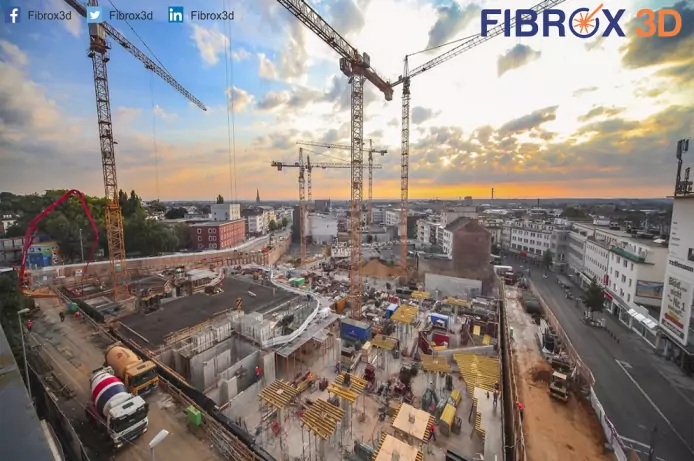
Manage Construction projects with Realtime data evaluation with 3D Laser scanning technology
A. Prevent Costly Mistakes
3D Lidar Scanning captures precise details about the environmental and physical site prior to and during construction. The high-resolution images captured by a 3D laser scanner are then turned into accurate 2D orthophotos and 3D models, creating a rich digital representation of your job site. Then, data platforms like 3DR Site Scan make it easy to overlay design files onto 3d scanned data (point cloud data), enabling you to pinpoint constructability challenges in preconstruction, spot mistakes, and measure progress during construction.
B. Provide Better Project Updates
Owners and other stakeholders understandably demand progress updates on a regular basis. This can be a pain for you if you have to walk the site or send someone to take photos, and also some Realtime progress report for the right construction without any further error or mistake.
3D laser scanning makes a comfortable way to decrease costly mistakes, provides better updates, improvises safety, and mitigates risks onsite.
3D Scanning used to validate construction progress against design intent by comparing laser scans to BIM models.
Identify misplaced and missing objects at the construction site.
Determine existing condition deformation with powerful surface analysis tools.
BY using this technology tolerances are met with workflows for analyzing concrete floor flatness and beam camber.
Monitor change over time of any construction with 4D cloud-to-cloud analysis.
3D Lidar technology uses to extract factory layout, topo line projection for cut/fill, or template layout for offsite prefabrication of assemblies.
Know more:
- Monitor change over time of any construction using 3D Scanning
