

Why Fibrox3D is the Leader!
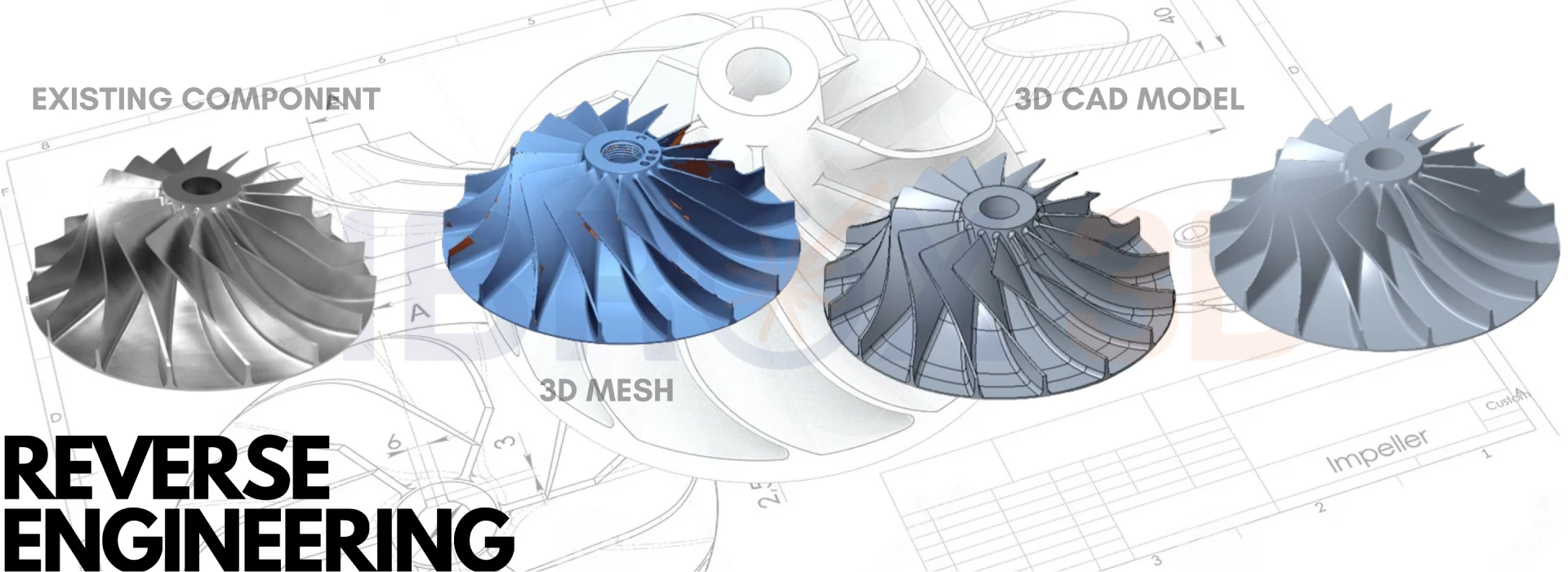
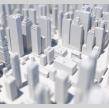
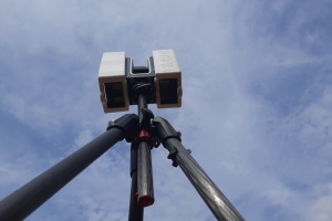
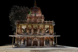
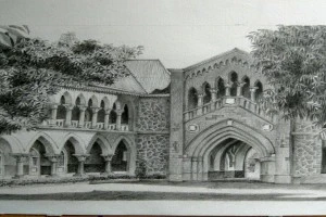
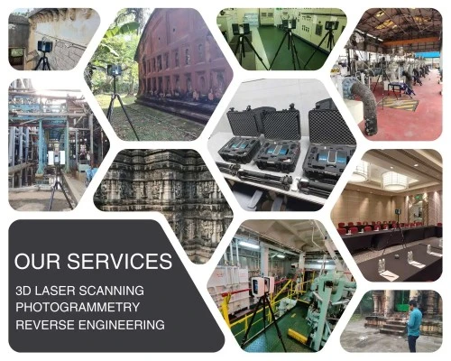
Fibrox 3D: Pioneering asset digitization with cutting-edge 3D Laser Scanning, Photogrammetry, and 3D As-Built Modeling, setting the industry standard for precision and innovation.
0
0
0
0
0
0
Expertises
Our Clients


Discover the future of asset digitization with Fibrox 3D
redefining precision and innovation in 3D technology.
ABOUT US
Discover Our Story
We at Fibrox 3D help our client reduces project budget risks by eliminating rework, saving an average of 25%-30% across project activities. Connect with us on LinkedIn for a direct line to our latest updates, industry insights, and professional network!